Advanced Drone Systems.
Intelligent Data.
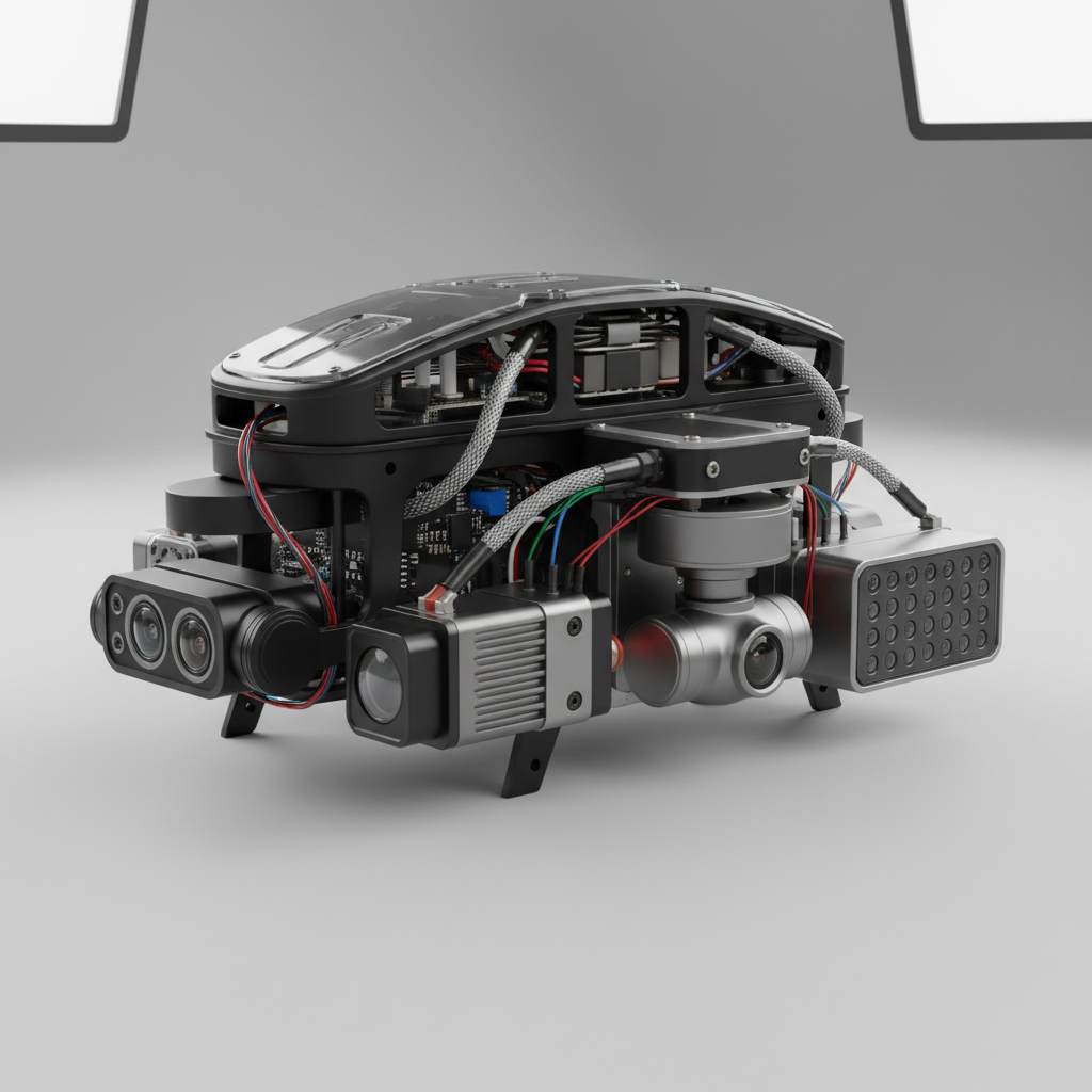
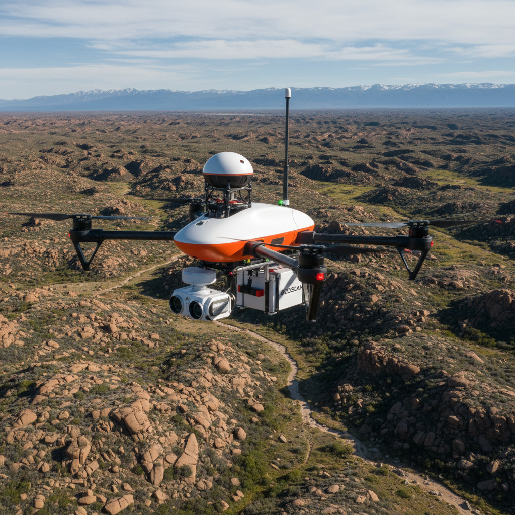
NASCAV operates a fleet of purpose-built UAV systems equipped with multi-sensor payloads, AI-powered analytics engines, and real-time data pipelines, delivering intelligence that drives decisions at scale.
Technology Stack
Multi-Role Aerial Platforms
Our fleet comprises fixed-wing, multi-rotor, and hybrid VTOL drones — each configured for specific mission profiles including long-range survey, precision agriculture, and rapid-response surveillance.

Certified Airspace Management
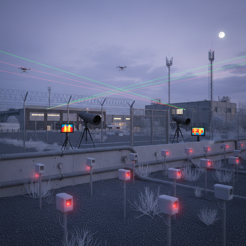
NASCAV integrates advanced flight management systems with Nigeria's airspace control infrastructure, ensuring safe, compliant, and coordinated UAV operations alongside manned aviation.
Eyes in the Sky, Intelligence on the Ground
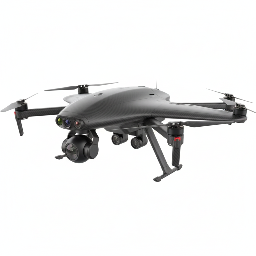
Our surveillance UAVs are equipped with EO/IR dual-sensor gimbals, license plate recognition AI, and encrypted live video feeds — delivering actionable intelligence to security operations centers.
Our UAV Fleet
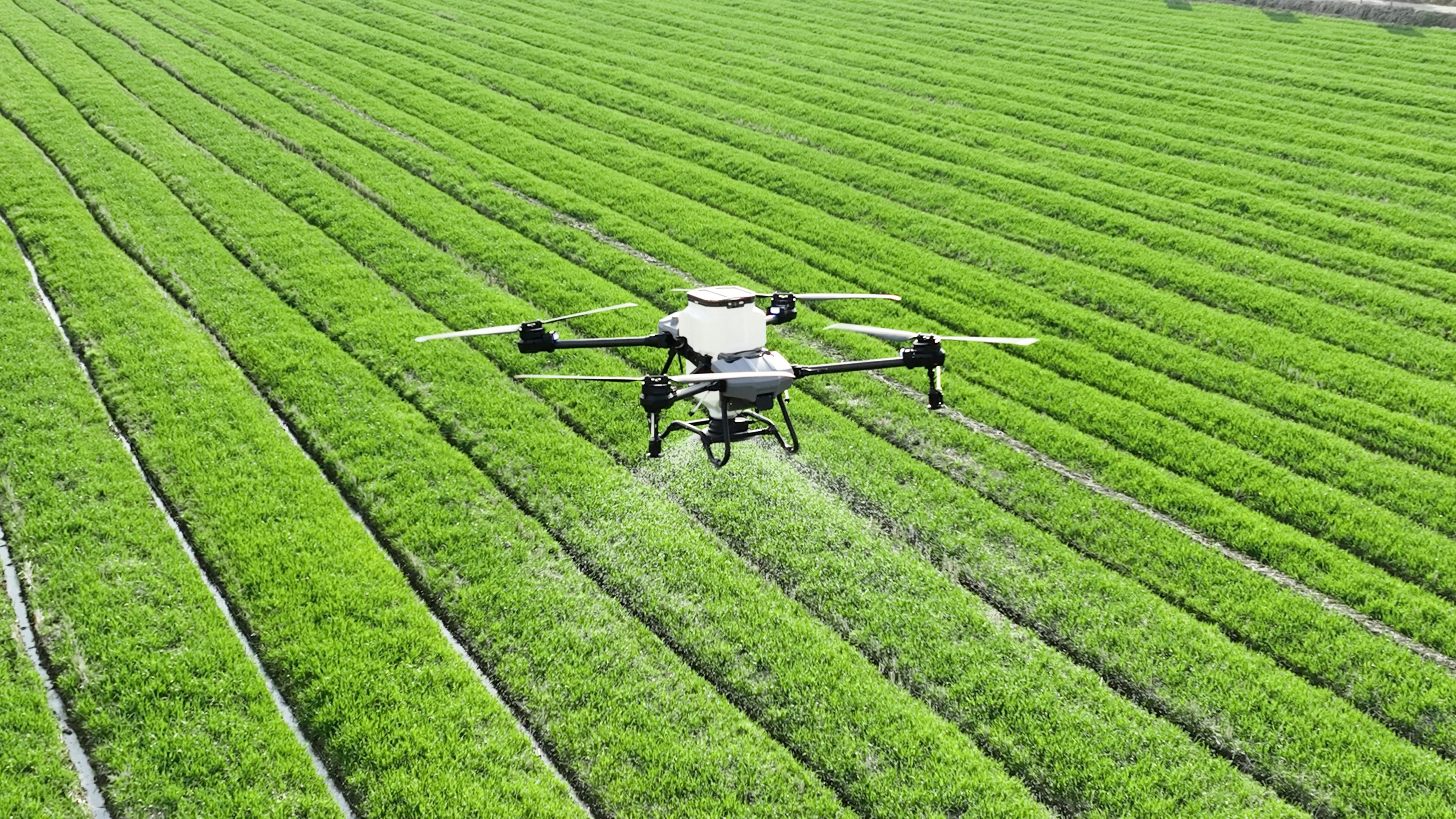
NASCAV Agri-1
NASCAV Survey-X