End-to-End Drone Solutions
Built for Africa.
From UAV pilot training to precision agriculture and industrial cleaning, NASCAV delivers government-grade drone services across Nigeria and beyond.
Our Core Capabilities
 Flagship Program
UAV Pilot Training
Nigeria's most comprehensive drone pilot certification program
NASCAV's UAV Pilot Training program is the most comprehensive drone education initiative in Nigeria, accredited by the Nigerian Civil Aviation Authority (NCAA). Our curriculum combines rigorous theoretical study with hands-on simulator sessions and real-world flight operations at our state-of-the-art certified training facility.
What's Included
NCAA-accredited certification recognized across West Africa
Fully equipped flight simulator lab with real-time feedback
Outdoor flying field spanning 5 hectares
Experienced instructors with military and commercial aviation backgrounds
Job placement support with NASCAV and partner organizations
Courses: Basic (4 weeks), Advanced (8 weeks), Commercial (12 weeks)
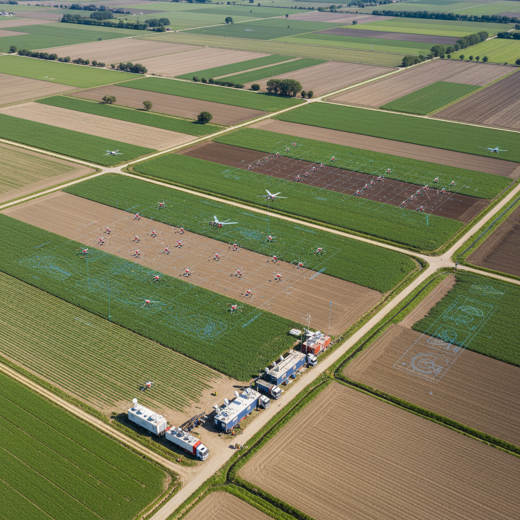
Specialized Aerial Solutions

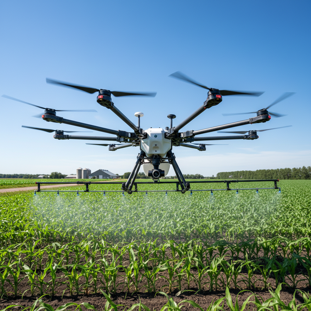
Farm Survey and Crop Health Monitoring
High-resolution aerial surveys providing actionable agronomic data for maximizing farm productivity.
- Multispectral & thermal imaging
- Soil health assessment
- Pest & disease mapping
- Historical trend analysis

Land Survey & Mapping
Centimeter-accurate topographic surveys and 3D terrain models for infrastructure planning and real estate.
- Orthomosaic photogrammetry
- 3D digital elevation models
- GIS-compatible outputs
- Sub-5cm accuracy

Surveillance & Security
Real-time aerial surveillance for perimeter security, event monitoring, and critical infrastructure protection.
- 24/7 monitoring capability
- Thermal & night vision
- Live video streaming
- Incident documentation
From Brief to Delivery in 4 Steps
Initial Consultation
We assess your needs, terrain, and objectives to design the optimal UAV solution.
Mission Planning
Flight paths, sensor configurations, and data requirements are mapped out with precision.
Deployment
Certified pilots execute missions with real-time monitoring and safety protocols.
Data Delivery
Processed reports, maps, and analytics delivered within 48 hours of mission completion.