
Real Missions.
Measurable Impact.
From federal government surveillance contracts to large-scale precision agriculture deployments, here is how NASCAV Technology is reshaping Africa's aerial intelligence landscape.
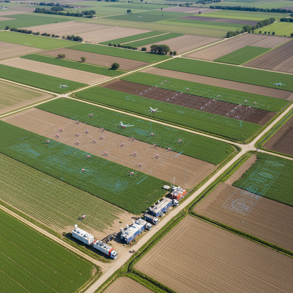

Kano State Rice Farm Precision Survey
A 12,000-hectare rice farming cooperative lacked crop health data, leading to poor input allocation and 30% yield underperformance.
NASCAV deployed a fleet of 3 fixed-wing UAVs with multispectral sensors to conduct weekly crop monitoring across the full farm area, generating NDVI health maps and irrigation recommendations.
18% yield improvement in first season. ₦280M additional revenue. Pest outbreak detected 7 days early, saving ₦45M in potential losses.
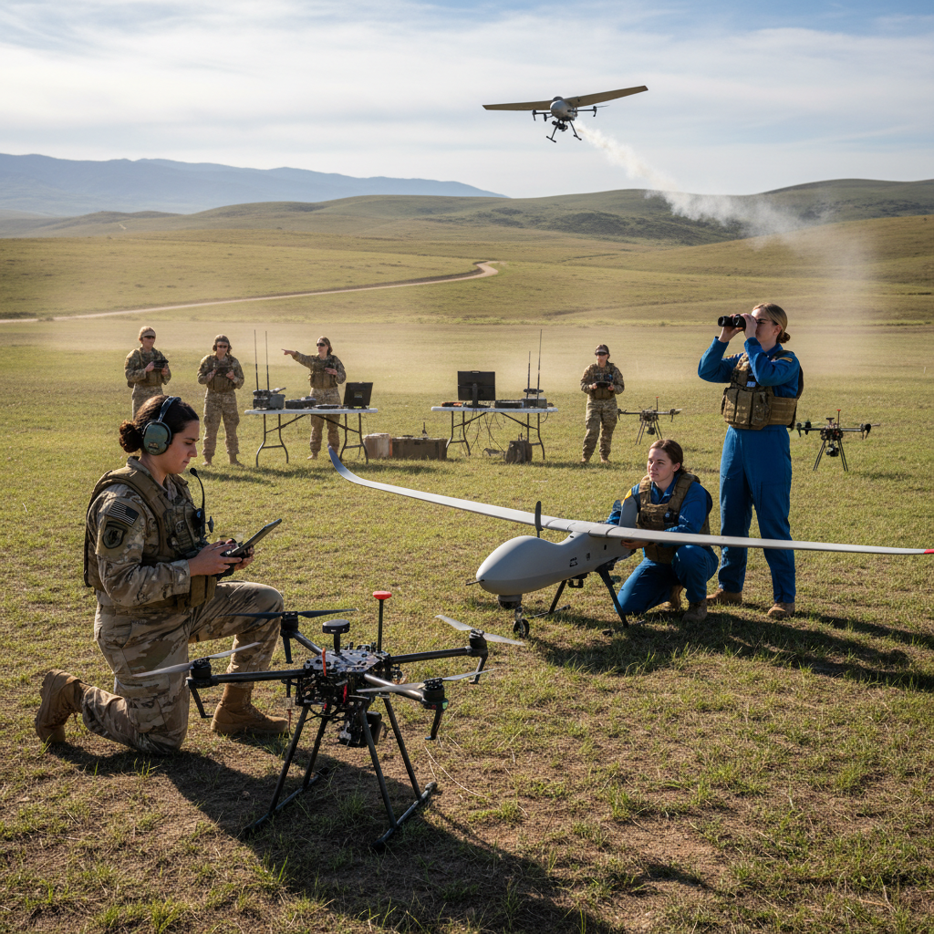
ATLAS Inaugural Training – Batch A
Nigeria had no structured, NCAA-accredited UAV pilot training program, creating a severe shortage of certified operators for the growing commercial drone sector.
NASCAV commissioned its Certified Training Facility and developed a 12-week curriculum combining NCAA theory, simulator training, and 40+ hours of real-world flight operations.
50 pilots certified in inaugural batch. 100% NCAA first-attempt pass rate. 42 of 50 graduates placed in commercial drone operations within 60 days.

SheFly Pilot Training – Batch B
There was a significant gender gap in Nigeria's drone industry, with very few women pursuing UAV pilot careers despite growing demand for certified operators.
NASCAV launched the SheFly initiative, a dedicated training program for women in Batch B, providing full scholarships, mentorship, and hands-on flight training at the Kaduna facility.
Batch B successfully completed with 100% pass rate. Graduates deployed across agriculture and surveillance sectors, contributing to gender inclusion in Nigeria's drone economy.
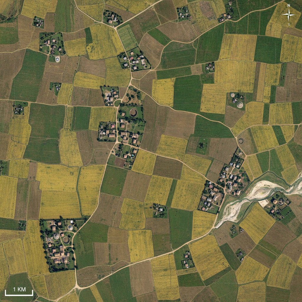
Kaduna State Agricultural Land Survey
The Kaduna State Ministry of Agriculture needed accurate cadastral maps of 450,000 hectares of arable land for agricultural planning and smallholder farmer registration.
A 6-drone survey fleet was deployed over 8 weeks, generating sub-5cm accuracy orthomosaic maps, digital terrain models, and a GIS-compatible land parcel database.
450,000 ha mapped in 8 weeks. 180,000 smallholder plots registered. State agricultural budget reallocation saved ₦600M in misdirected subsidies.
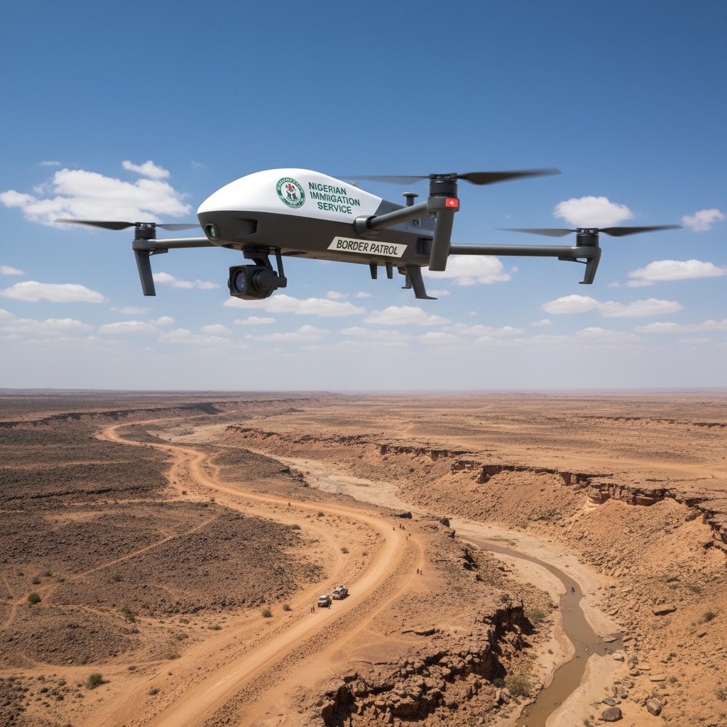
Nigerian Immigration Service
The Nigerian Immigration Service required enhanced aerial surveillance capabilities to monitor border crossings and support immigration enforcement operations.
NASCAV deployed its specialized surveillance drone fleet with precision imaging systems, providing real-time aerial intelligence to support immigration operations.
Significant improvement in border monitoring coverage. Enhanced operational intelligence delivered to immigration enforcement teams. Zero safety incidents.
Have a project in mind? Let's discuss how NASCAV can deliver results.
Start a Project